Log in
All resources
Create a design
33,741 Free Images of 1732 Maps
maps made in the 17th century
fonds ancely - bibliothèque municipale de toulouse - maps
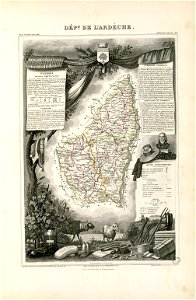
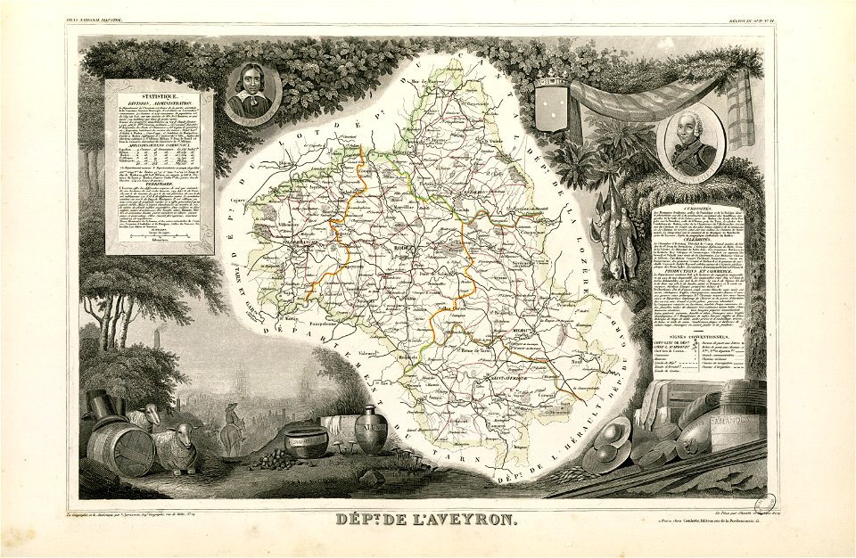
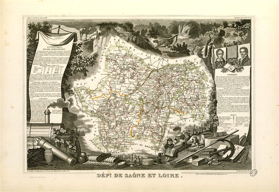
victor levasseur - maps of france
atlas van der hagen
hand-drawn maps and views of world war i battlefields by h.m.
atlantis magni tomus quartus (biblioteca comunale di trento)
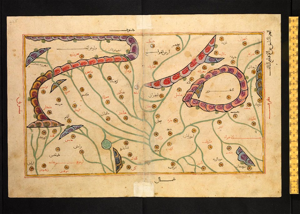
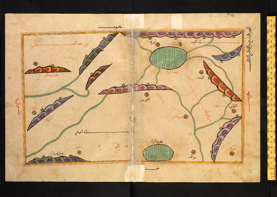
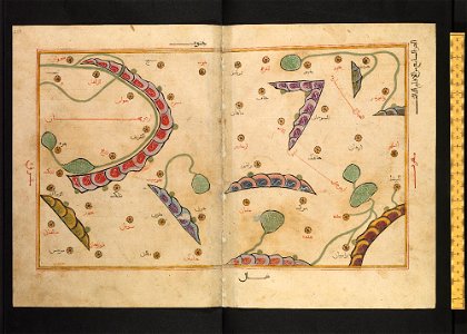
bodleian library
arabic-language manuscripts
files from the bodleian libraries
ms. greaves 42
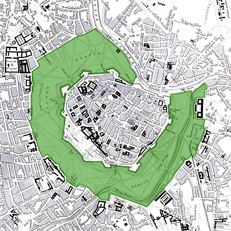
vienna
glacis
old maps of zierikzee
braun & hogenberg
trams in warsaw
maps of warsaw
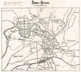
history of vilnius
maps of vilnius
history of vilnius
maps of vilnius
maps by jodocus hondius
samuel purchas
joan blaeu
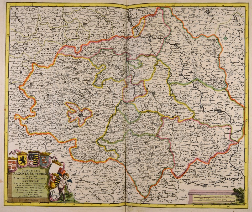
vogtland
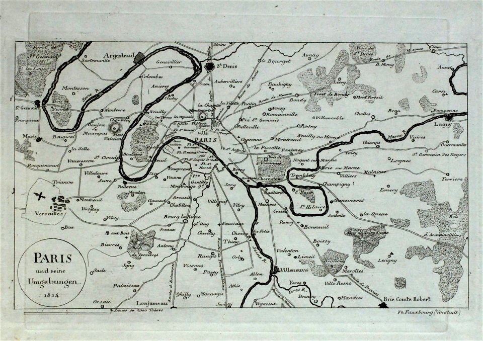
old maps of île-de-france
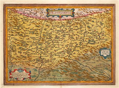
1575 maps of transylvania
johannes sambucus
old maps of the caspian sea
korschenbroich
liedberg
tranchot maps snippets
angelsdorf
itinerario (jan huygen van linschoten)
latin-language maps
maps made in the 17th century
gerard valck
fonds ancely - bibliothèque municipale de toulouse - maps
frédéric-auguste laguillermie
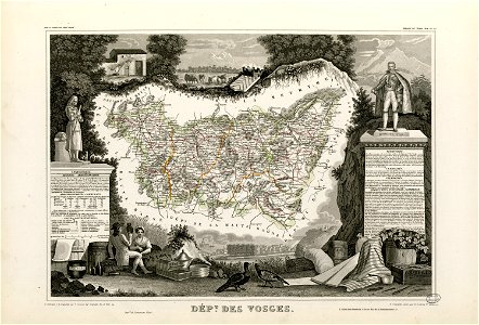
coats of arms of cities in vosges
claude-victor perrin
françois-antoine de boissy d'anglas
frédéric-auguste laguillermie
fonds ancely - bibliothèque municipale de toulouse - maps
coats of arms of cities in aveyron
coats of arms of chalon-sur-saône
alphonse de lamartine
coats of arms of cities in hautes-pyrénées
bertrand barère de vieuzac
coats of arms of cities in jura (department)
charles pichegru
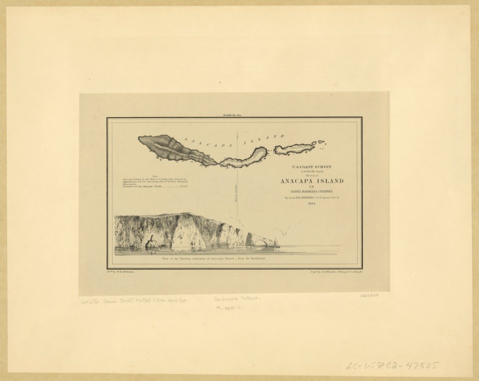
anacapa island
california
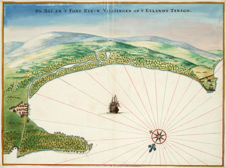
tobago
1665
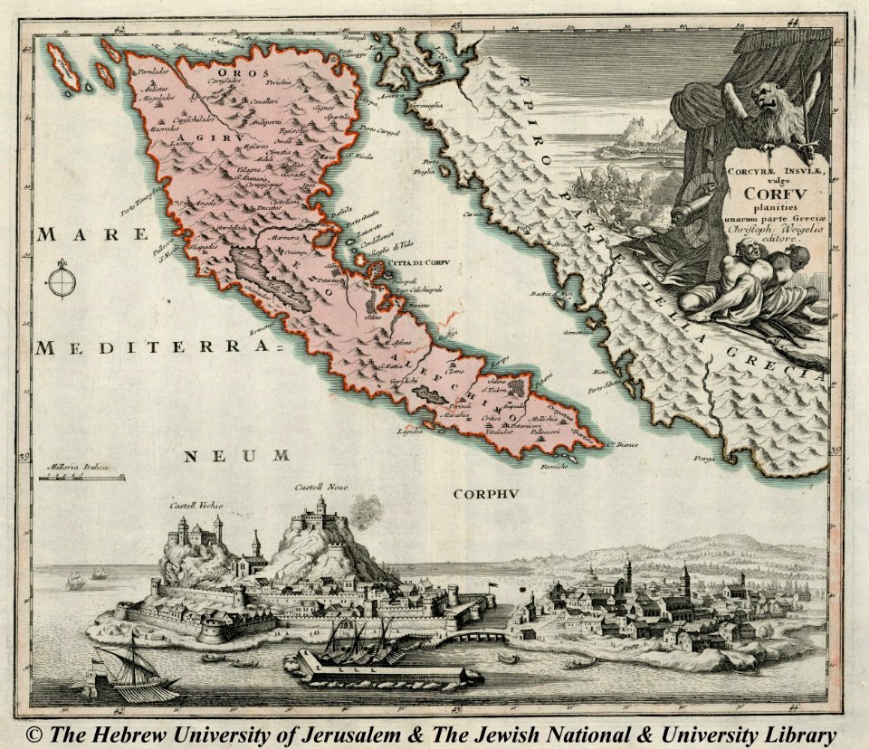
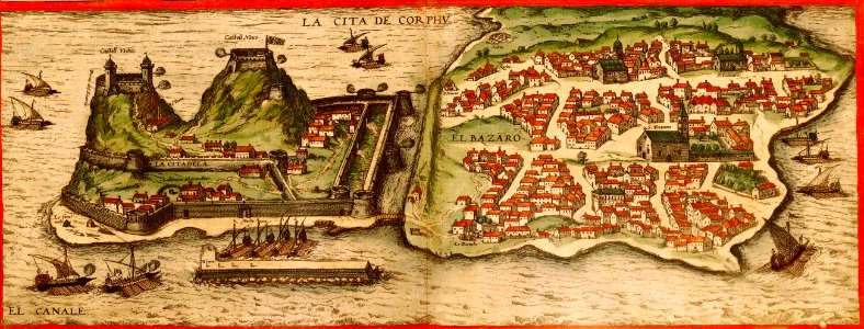
engravings of palaio frourio (corfu)
1720 maps
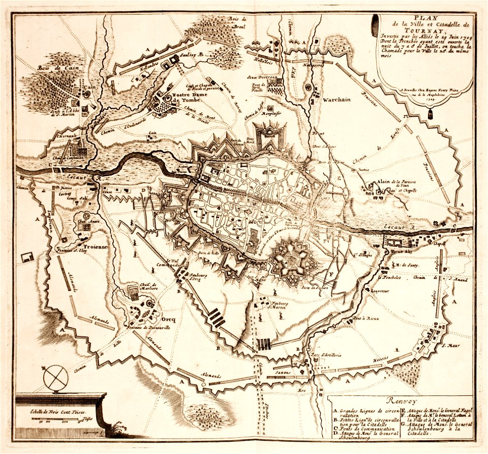
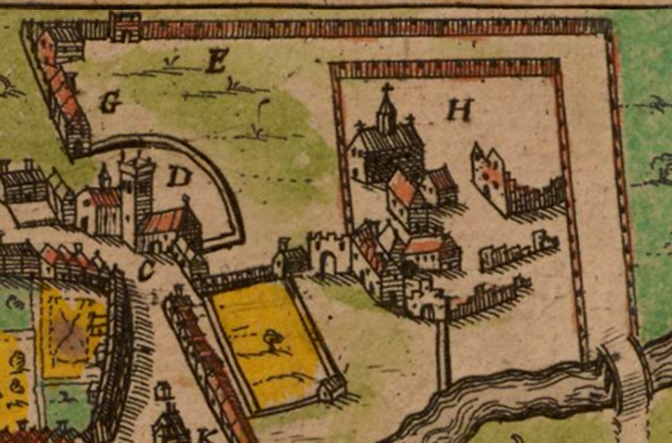
maps of tournai city walls
old maps of tournai
fonds ancely - bibliothèque municipale de toulouse - maps
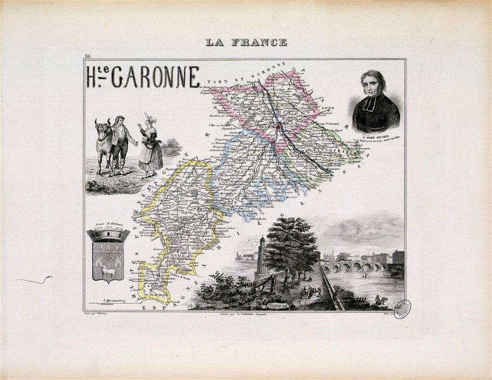
roch-ambroise cucurron sicard
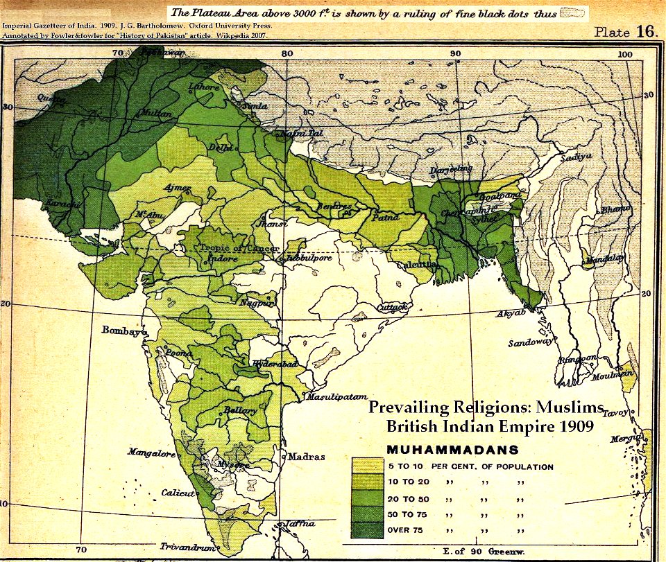
old maps of the indian subcontinent
dominion of india
maps made in the 18th century
johann baptist homann
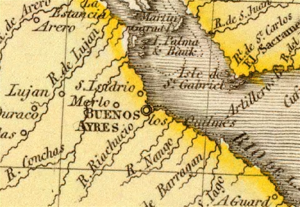
old maps of the río de la plata
1812 maps
18th-century maps of brazil
1780 in south america
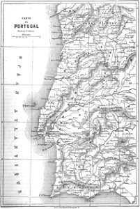
1780s maps of portugal
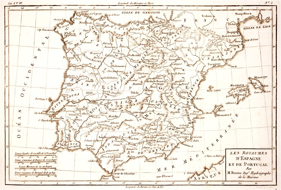
1780s maps of spain
old maps of governorates of the russian empire
old maps of viceroyalty of the caucasus
maps by frederick de wit
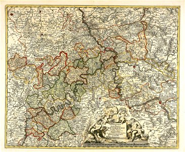
trier see coat of arms
old maps of the canton of zürich
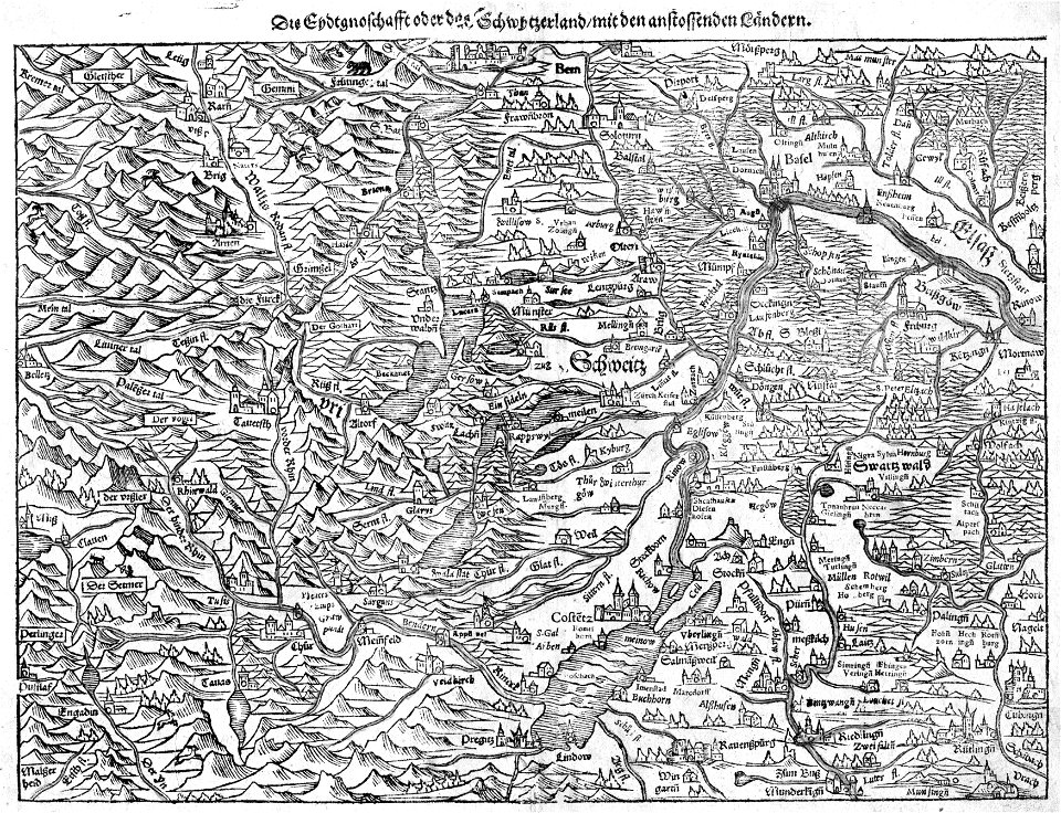
old maps of switzerland
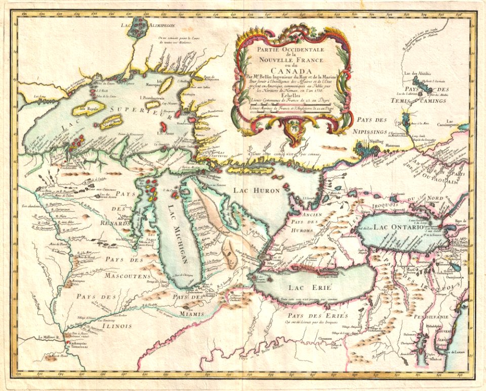
iroquois
ontario
maps made in the 16th century
old maps of switzerland
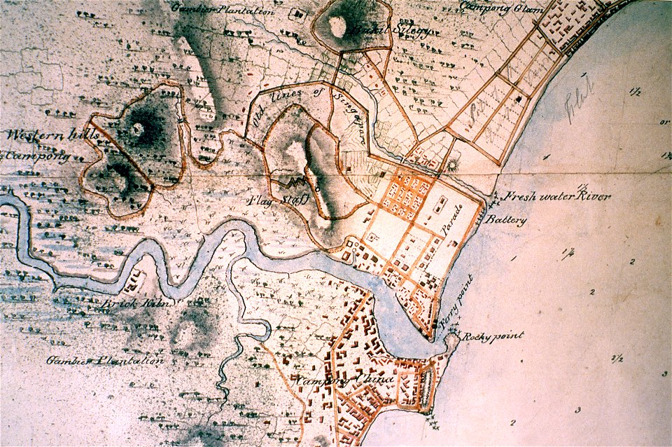
singapore river
singapore
bibliothèque municipale de reims
rès. g 152
atlantis magni tomus tertius (biblioteca comunale di trento)
maps made in the 17th century
atlantis magni tomus quintus (biblioteca comunale di trento)
maps made in the 17th century
maps made in the 17th century
jan janssonius
maps made in the 17th century
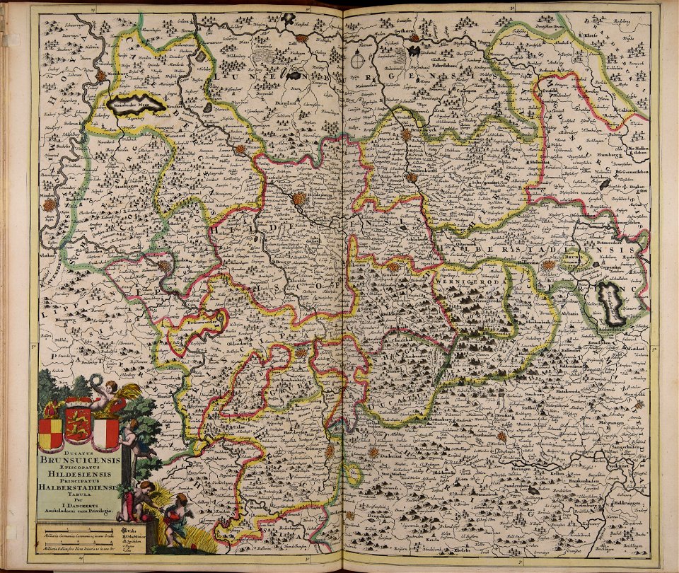
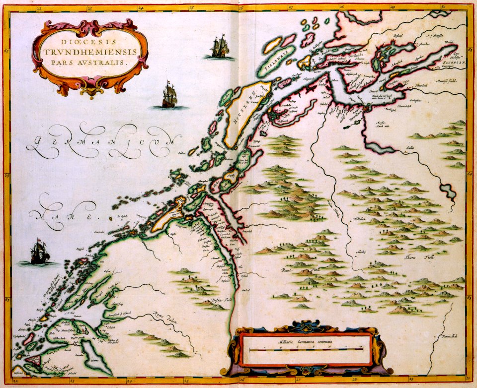
old maps of lower saxony
charts and maps of the royal museums greenwich
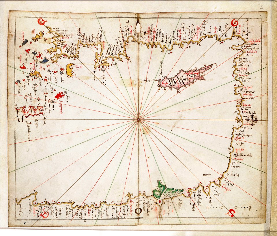
16th-century maps of the mediterranean sea
illustrations of cosmographia (münster)
old maps of switzerland
maps of departments of french algeria
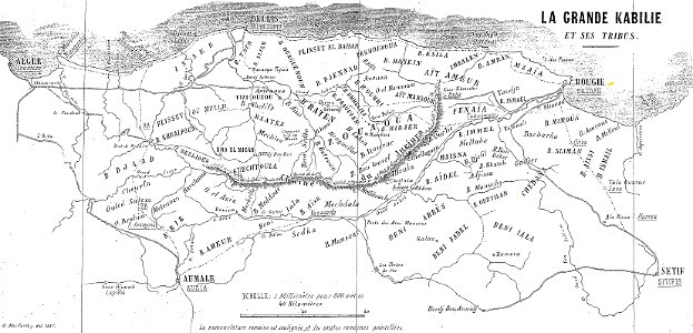
maps of kabylie
old maps of china
bodleian library
old maps of tunisia
bodleian library
old maps of turkestan
bodleian library
old maps of turkestan
bodleian library
arabic-language manuscripts
bodleian library
history of lindau (bodensee)
alter rhein
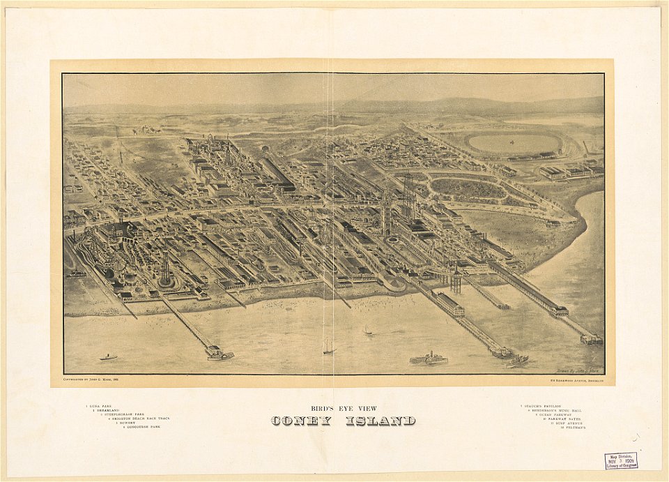
coney island
brooklyn
atlantis magni tomus tertius (biblioteca comunale di trento)
maps made in the 17th century
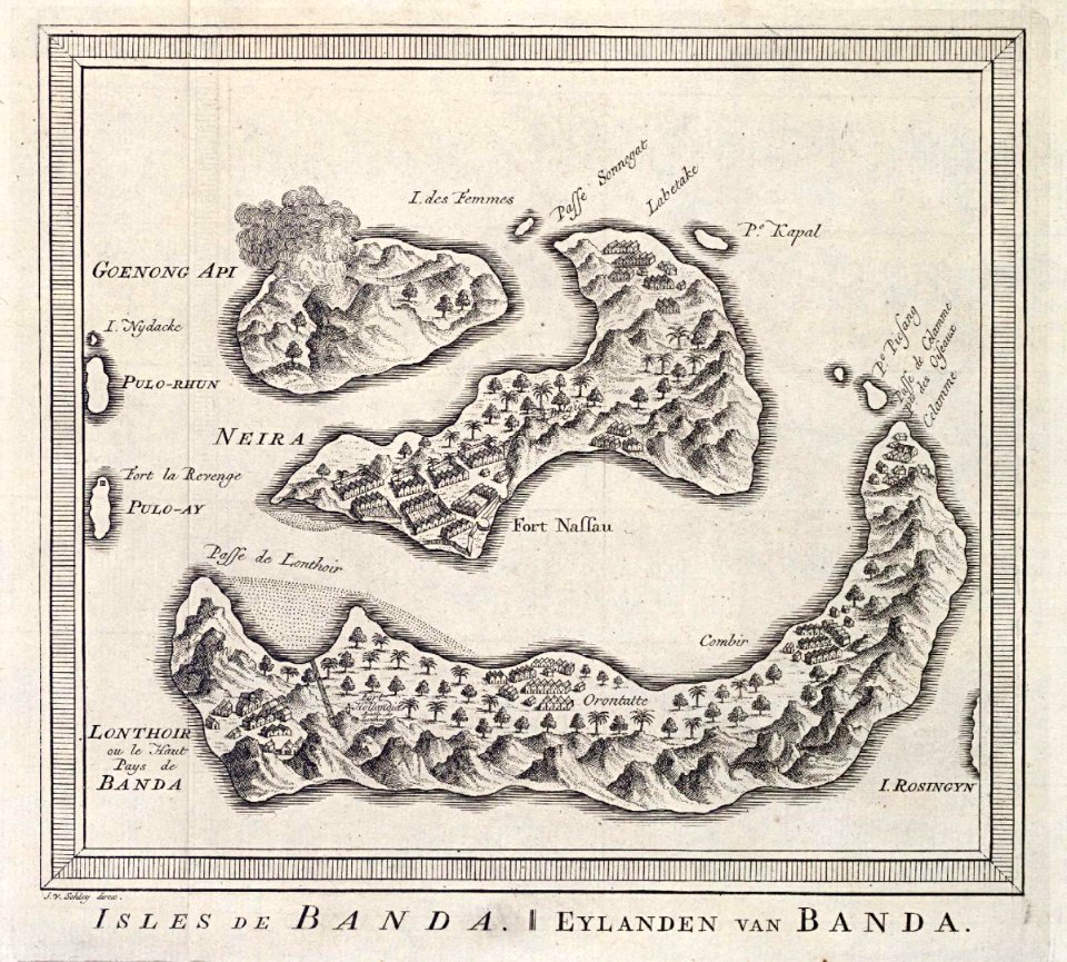
maps of the dutch east india company - indonesia
banda islands
maps of the west-indische compagnie
1745
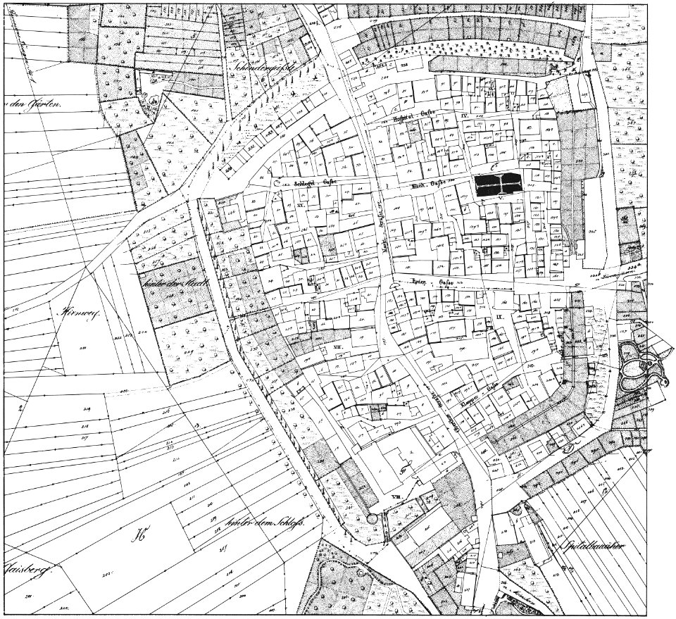
historical images of brackenheim
1835 maps
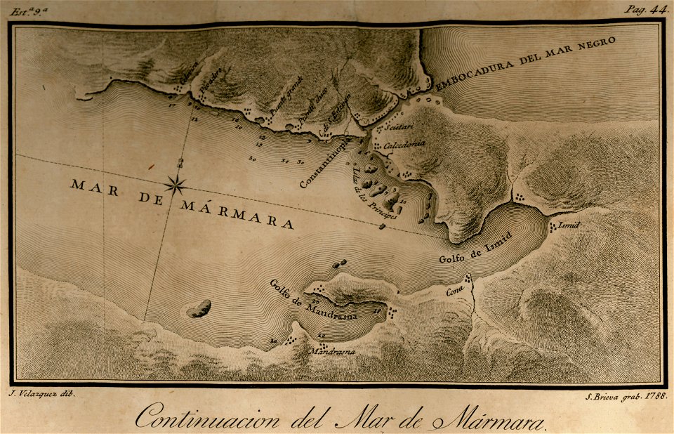
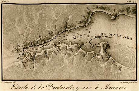
maps of the sea of marmara
maps of the bosphorus
atlantis magni tomus primus (biblioteca comunale di trento)
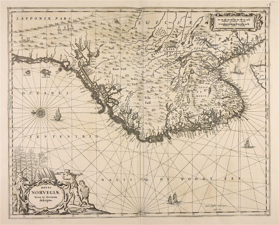
17th-century maps of sweden
maps made in the 18th century
gerard valck
joseph pitton de tournefort
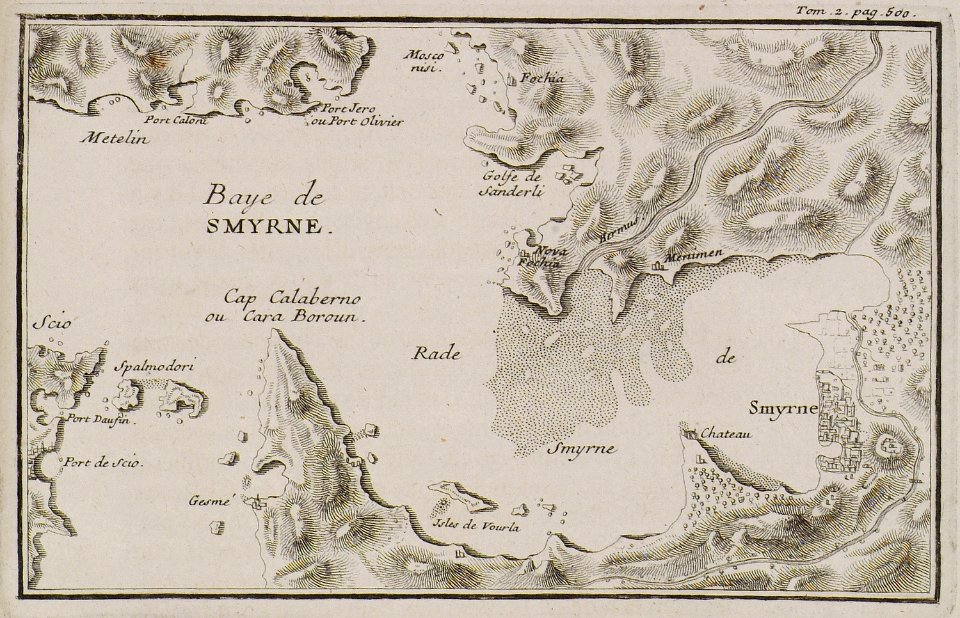
i̇zmir in the 18th century
military bases of the united states
old maps of the history of normandy
maps of duchy of modena and reggio
modena
17th-century maps of the americas
maps with cartouches
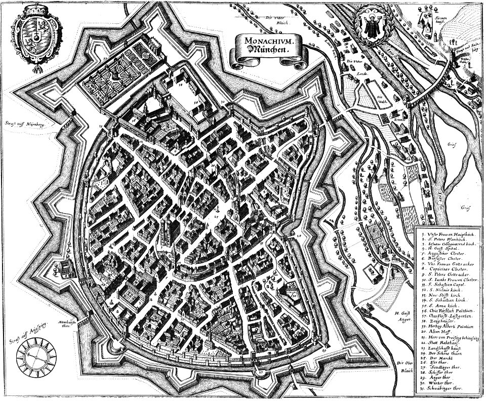
old maps of north rhine-westphalia
maps with cartouches
copper engraving
ships on maps
maps with cartouches
atlas van der hagen
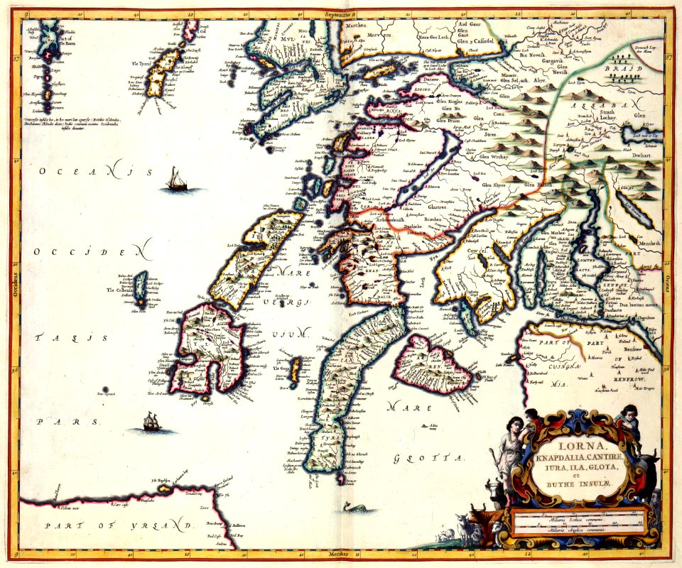
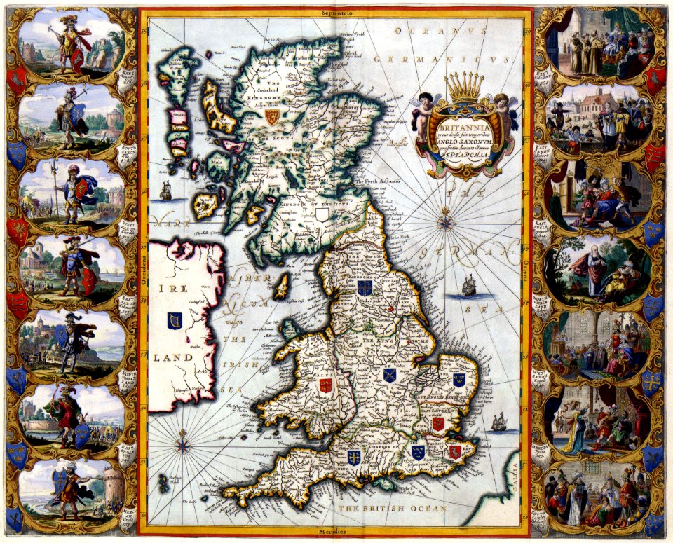
old maps of the british isles
maps with cartouches
atlas van der hagen
old maps of france
maps with cartouches
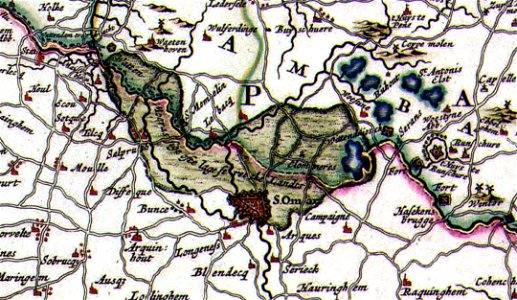
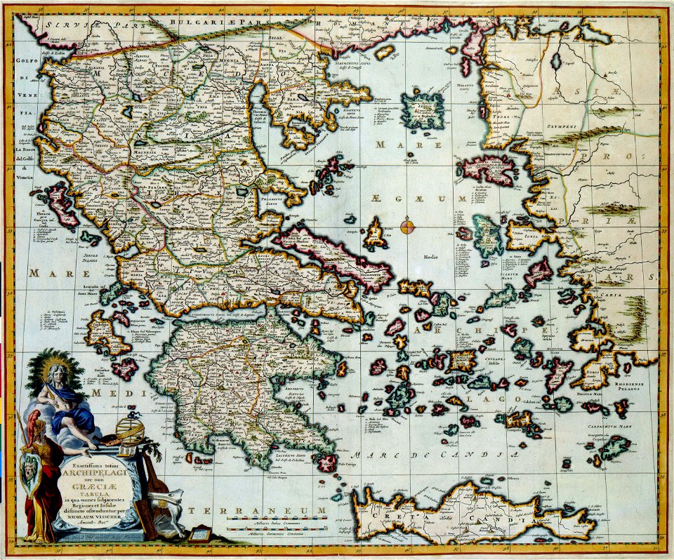
old maps of greece
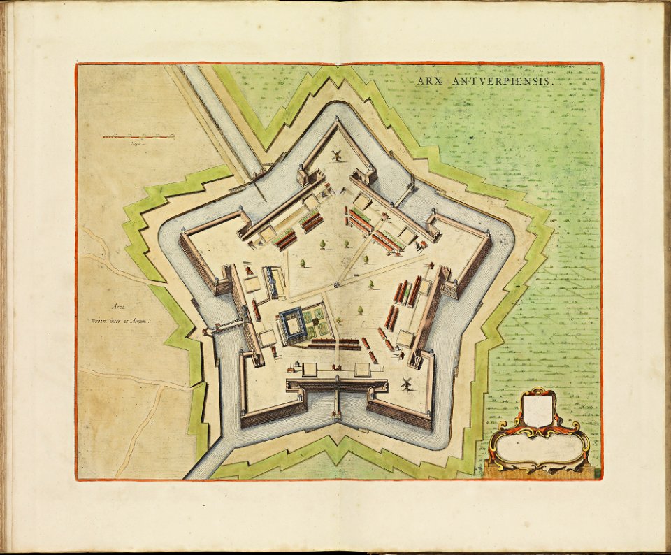
maps of antwerp city walls
frederick de wit
maps of reading abbey
reading
braun & hogenberg
ships on maps
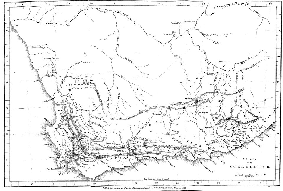
maps of rivers of south africa
mountains of south africa
maps of the sea of marmara
viage á constantinopla
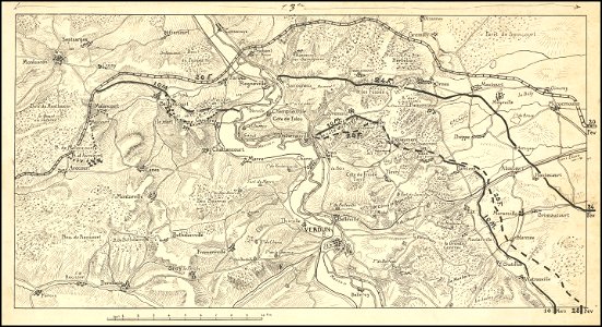
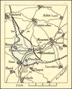
hand-drawn maps and views of world war i battlefields by h.m.
western front maps of world war i
hand-drawn maps and views of world war i battlefields by h.m.
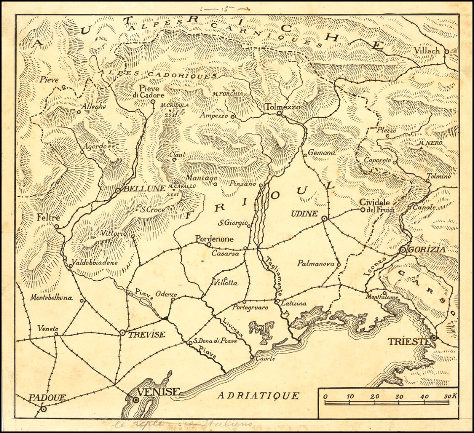
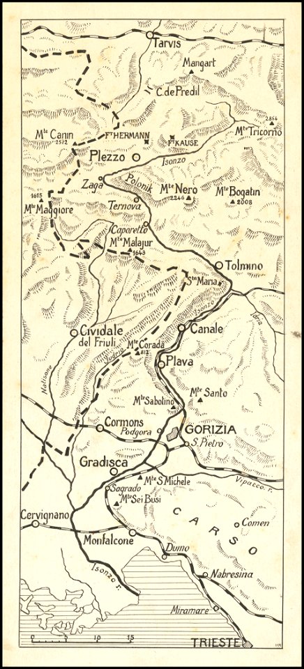
maps of world war i - italian front
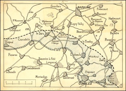
hand-drawn maps and views of world war i battlefields by h.m.
western front maps of world war i
hand-drawn maps and views of world war i battlefields by h.m.
western front maps of world war i
hand-drawn maps and views of world war i battlefields by h.m.
western front maps of world war i
hand-drawn maps and views of world war i battlefields by h.m.
maps of world war i - italian front
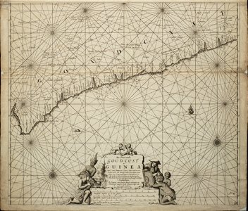
18th-century maps of africa
engravings by jan luyken
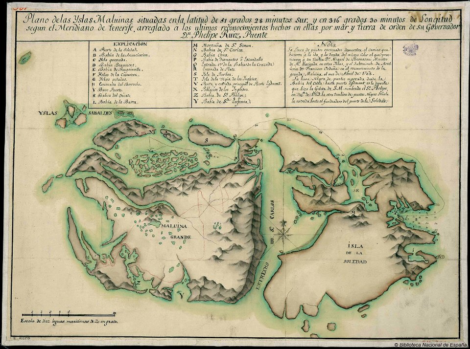
old maps of the falkland islands
history of the falkland islands
maps made in the 17th century
jan janssonius
volume 3 of le tour du monde
maps by alexandre vuillemin
maps by willem and johannes blaeu
maps made in the 17th century
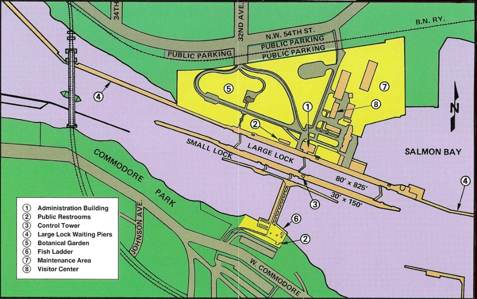
ballard locks
fish ladder
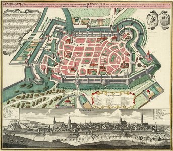
historical images of lüneburg
maps by matthäus seutter
edemissen
meinersen
historic views of konstanz
bishopric of constance
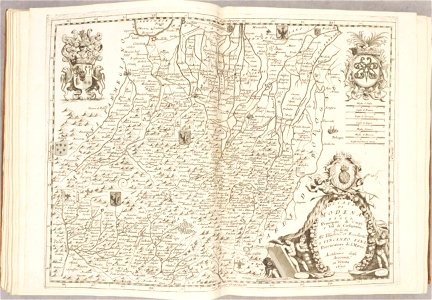
fonds ancely - bibliothèque municipale de toulouse - maps
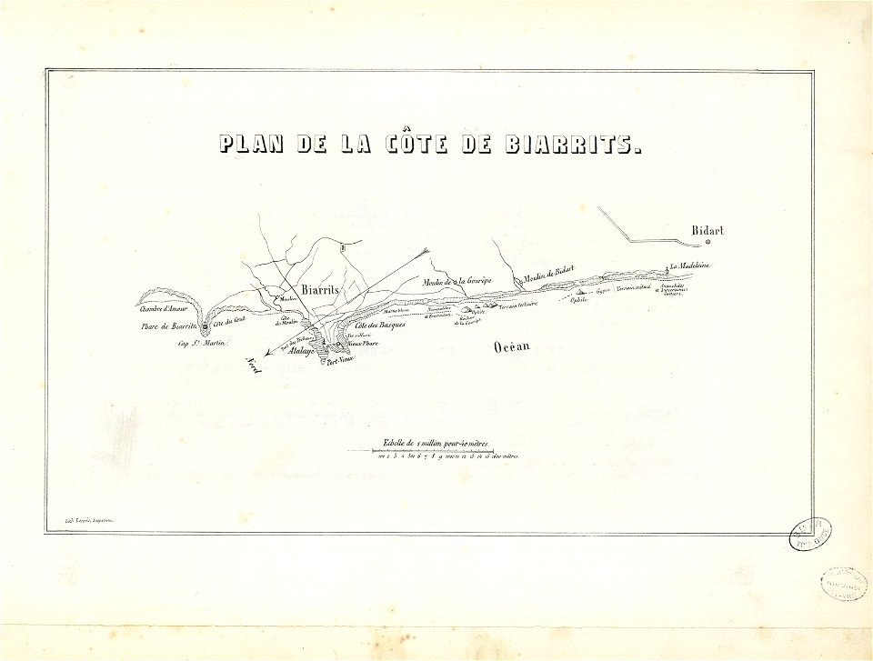
historical images of biarritz
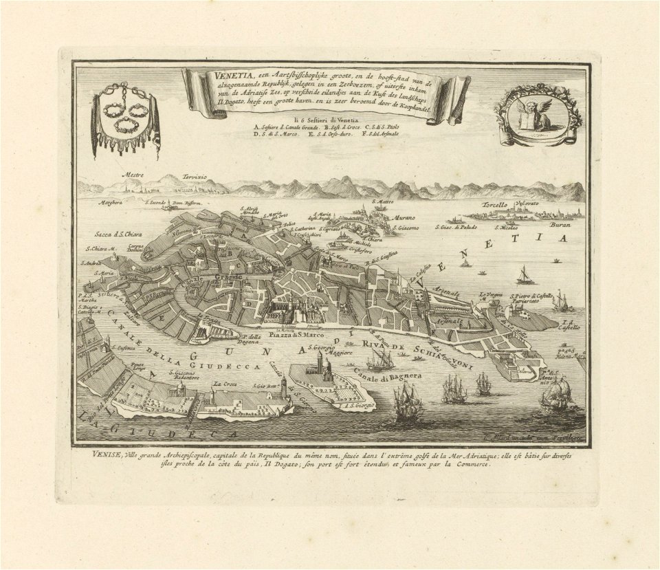
old maps of venice
carolus allard
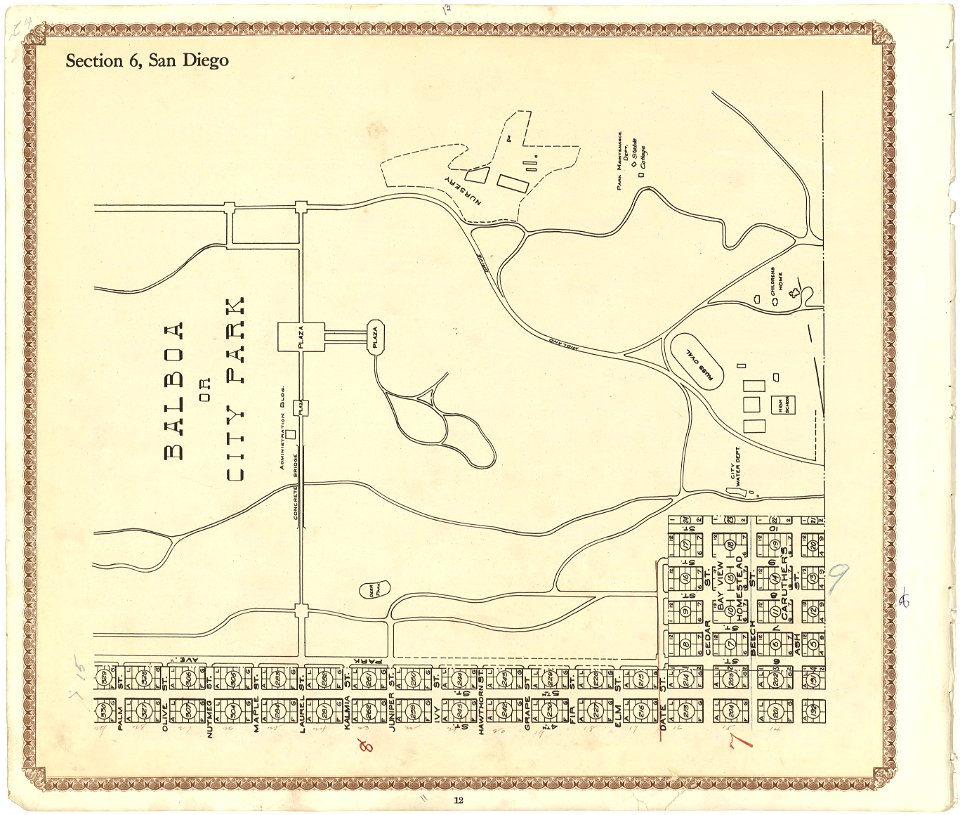
california
san diego
maps made in the 17th century
jan janssonius
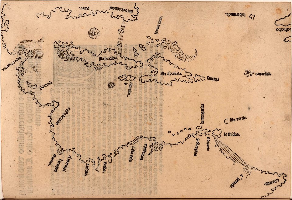
images from the john carter brown library
1510s maps of the caribbean
atlantis magni tomus primus (biblioteca comunale di trento)
maps made in the 17th century
engravings by matthäus merian
engraved maps
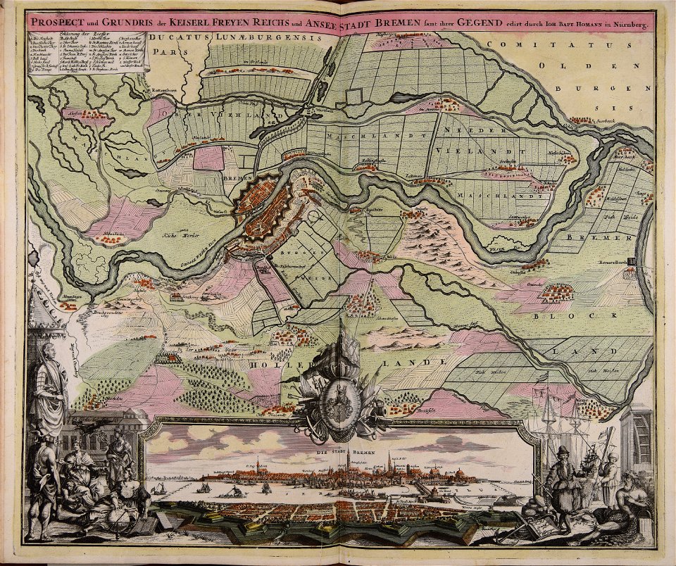
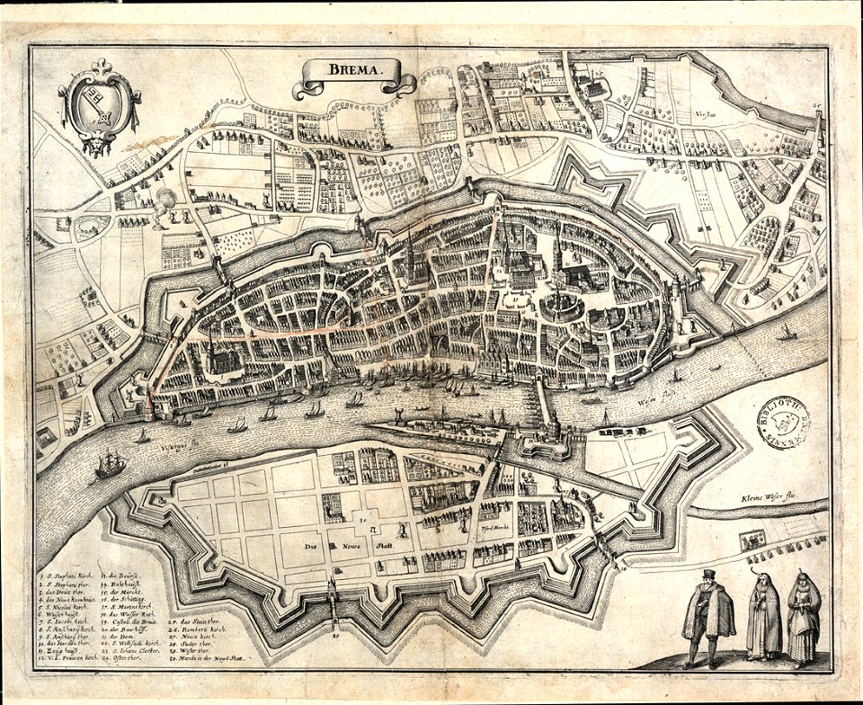
bremen in topographia saxoniae inferioris (merian)
old maps of bremen (state)
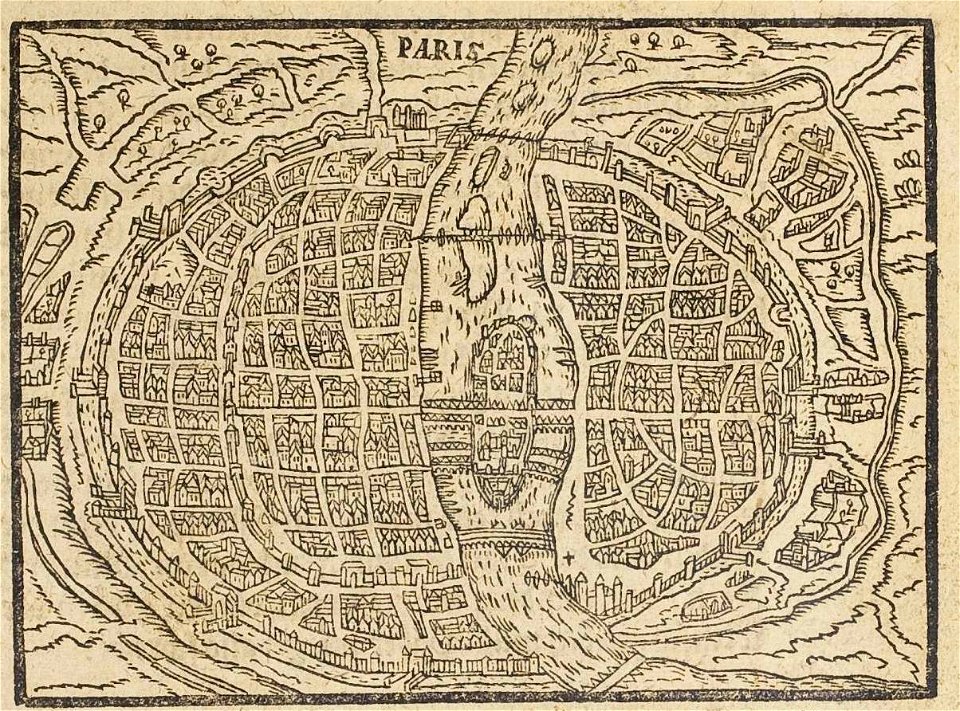
17th-century maps of paris
paris in the 16th century
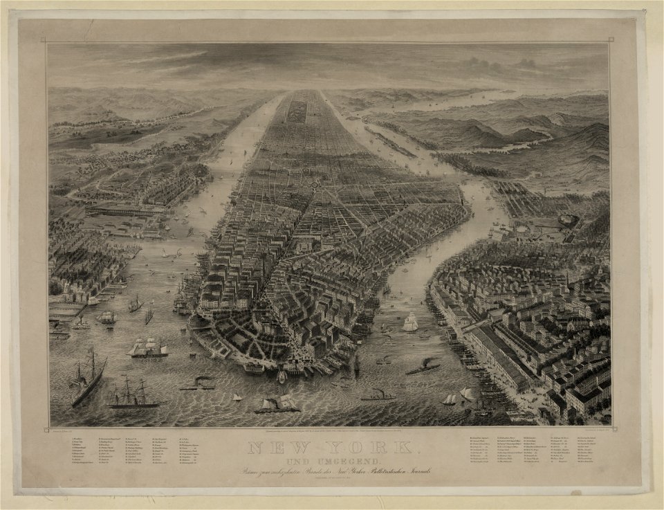
maps in the library of congress
new york
bird's eye view maps of new york city
1867 in new york city
5401 - 5500 of 33,741
Next page
/ 338